London Underground
19th May 2009
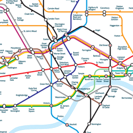
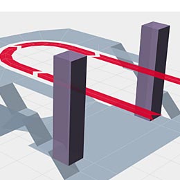
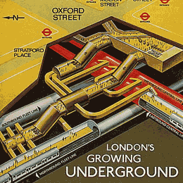
On my recent visit to London I popped into the London Transport Musuem in the hope that my curiosity for the geographic structure and layout of the London Underground system would be satisfied. I really wanted to see lots of graphics like this one and this one to get a better understanding of how the complex architecture was conceived. I wanted to know things like, what station is the oldest? Which one is the deepest? What about closed stations? Plans for new ones? What's the procedures for building a new station or line?
Unfortunately I didn't get many satisfactory answers. So I did a quick search and only found a couple of sites with useful content:
- London Underground Tube Station Maps - this one is a geocities hosted site, so it may not be around much longer
- Deep Level Lines
Incidentally I tried Wolfram|Alpha to see if I would be presented with a fancy cross-comparison of the main lines but alas, no. If anyone knows any decent sites with this kind of information, please let me know.

